
Eagle Walk Tirol in numbers
Last updated on 09.04.2025 | Tirol Werbung
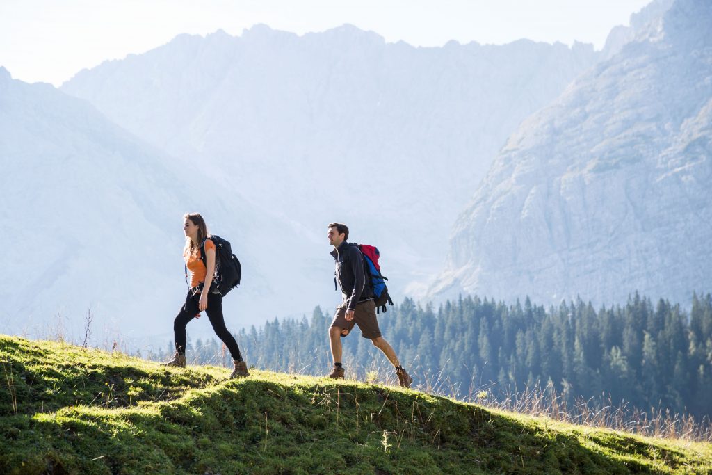
The Eagle Walk traverses the heart of the Alps from east to west (North Tirol), or west to east (East Tirol) along a route that resembles an eagle’s outstretched wings. 33 stages await on one of the most beautiful and challenging long-distance hiking trails in Tirol.
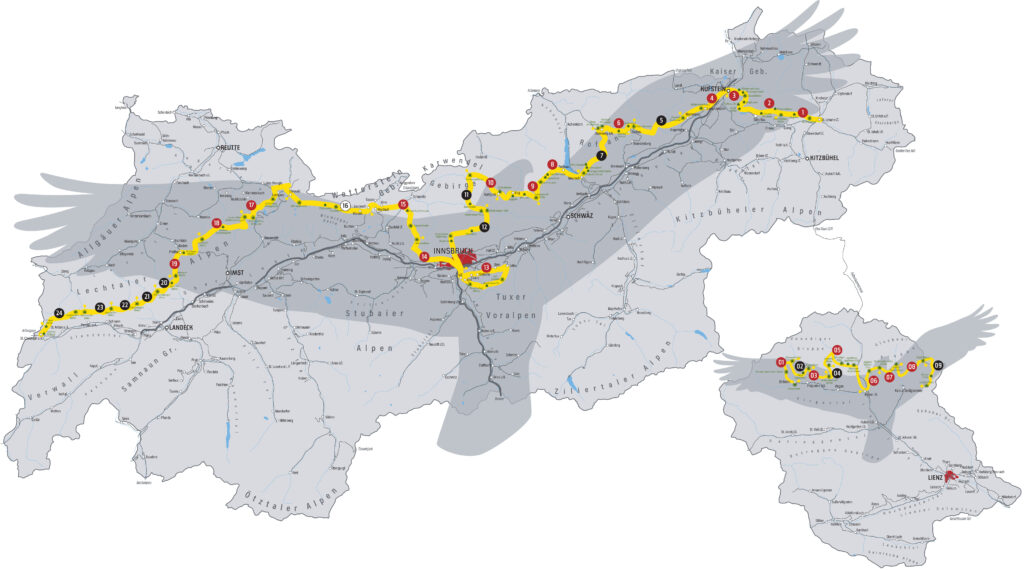
33 stages, some quite challenging, guide hikers along the Eagle Walk across North and East Tirol (24 stages in North Tirol, 9 stages in East Tirol).
426 kilometres in total distance traverse Tirol, including some arduous sections and breathtaking views.
30.000 strenuous metres in elevation gain are demanded by the Eagle Walk route.
28.000 metres in descent are covered along the Eagle Walk’s steep downhill sections.
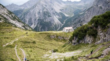
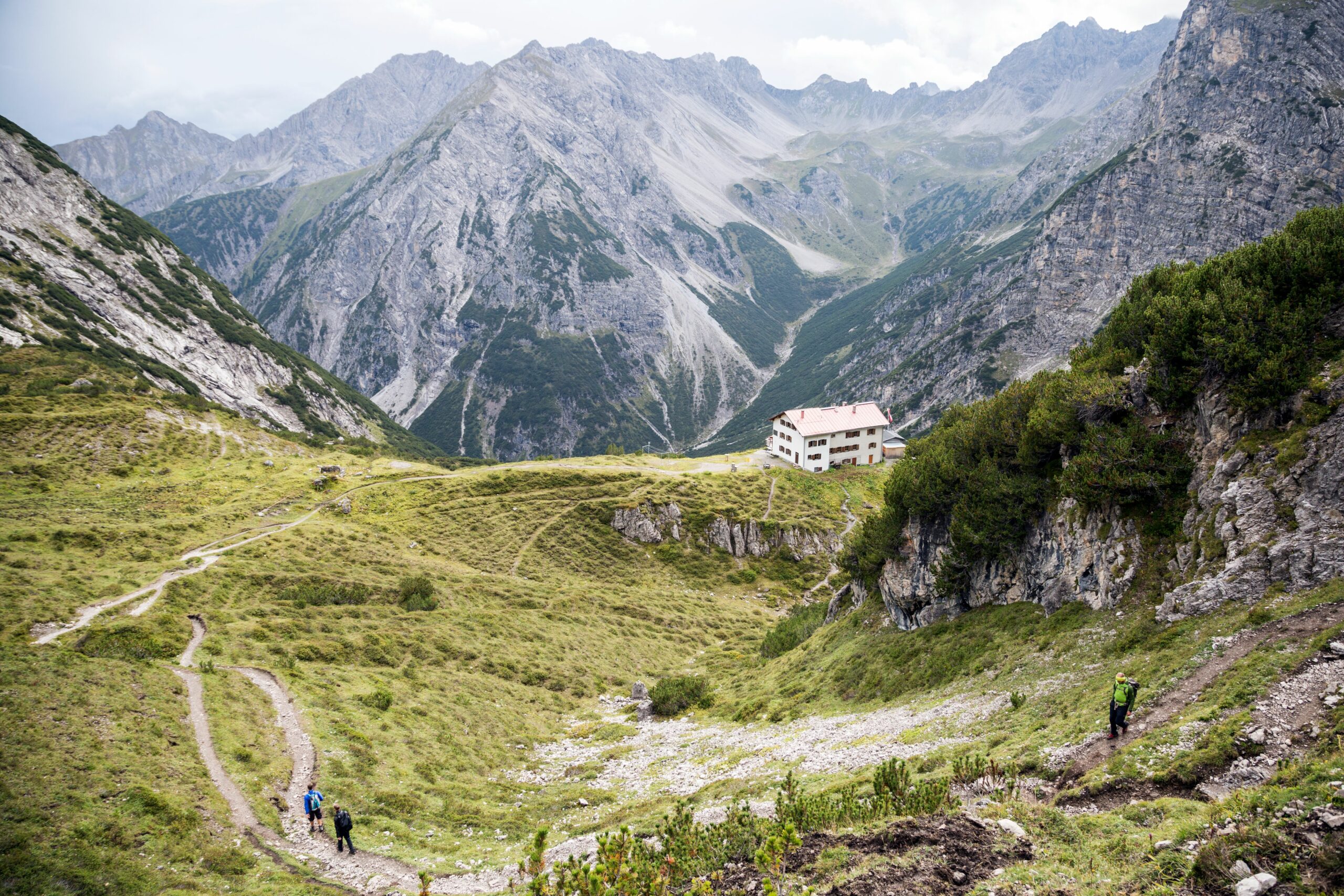
75 mountain hut and alpine innkeepers offer refreshments and overnight accommodation along the Eagle Walk.
40 official stamp locations provide hikers with the opportunity to earn their Golden Eagle pin.
2.749 metres above sea level is the Eagle Walk’s highest point on the North Tirolean route, at Birkkarspitze in Karwendel Nature Park.
2.848 metres above sea level marks the Eagle Walk’s highest point on the East Tirolean route, at Gradötzscharte.
23 kilometres of hiking trail form the longest section of the Eagle Walk on Stage 16 in North Tirol, from Leutasch to Ehrwald.
8,5 hours are how long hikers will require to complete the most time-consuming Stage 11 from Karwendelhaus, encompassing an altitude difference of 1,440 metres and distance of 14 kilometres.
12 stages of the Eagle Walk are considered particularly challenging and classified as black mountain trails.
33 idyllic mountain lakes can be found along the Eagle Walk route.
1.150 metres in elevation and 13 kilometres in distance await on Stage 12 in North Tirol. Hikers arrive at the North Chain Mountain Range in Innsbruck after scaling the section from Hallerangerhaus via Pfeishütte and Mount Hafelekar. This stage is particularly arduous and considered the most challenging along the Eagle Walk.
4 imposing eagle sculptures mark the beginning and end of the Eagle Walk in North and East Tirol. Uniform signage with yellow boards and red-white-red floor markings guide hikers along the route.
33 exciting and informative Alpine stories influenced by outstanding achievements accompany hikers on their adventures along the Eagle Walk.
8 specialised telescopes are located along the Eagle Walk that offer incredible 360-degree “eagle eye” panoramic views.
7 mountain ranges are traversed along the entire Eagle Walk: Wilder Kaiser, Brandenberg Alps, Karwendel, Tux Alpen, Wetterstein Range, Lechtal Alps and Hohe Tauern.
2005 is the Eagle Walk’s founding year.
2015 was the Eagle Walk’s 10th anniversary year: in commemoration, the trail was given some thematic fine-tuning and the network of routes reduced to today’s more concise course.
2025 marks the Eagle Walk’s 20th anniversary.
2 golden eagle breeding pairs can be found per 100 km² in the Karwendel Mountains. This currently makes the Nature Park one of the most densely concentrated eagle habitats in the Alpine region.
5 cable car systems can be used on the Eagle Walk to shorten ascents or descents: Kaiserlift (Stage 3), Rofanseilbahn (Stage 8). Nordkettenbahn (Stage 12), Patscherkofelbahn (Stage 13) and Grubigsteinbahn (Stage 17)
