
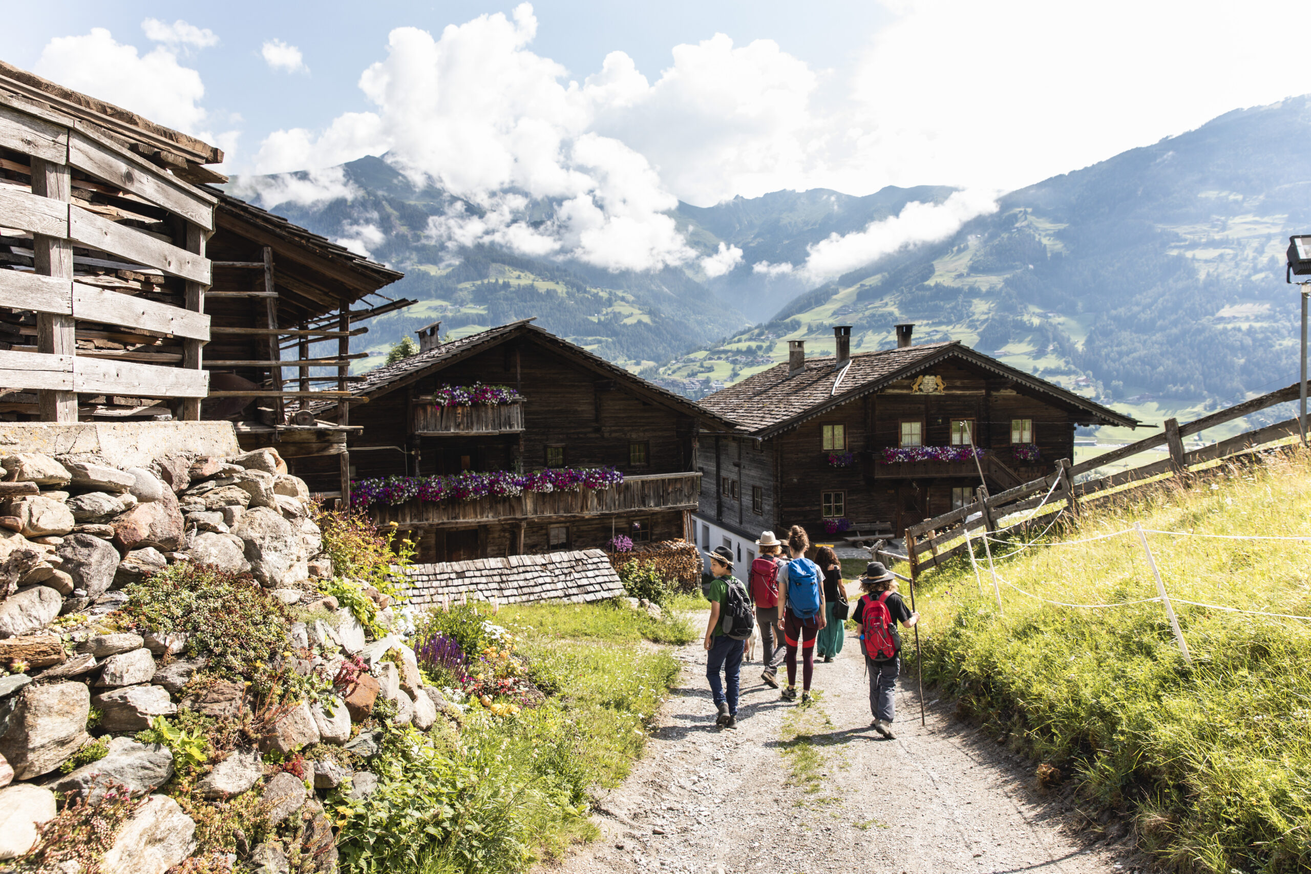
Hiking with public transport
Take the bus and train to the Tirolean mountains
Last updated on 30.04.2024 | Tirol Werbung
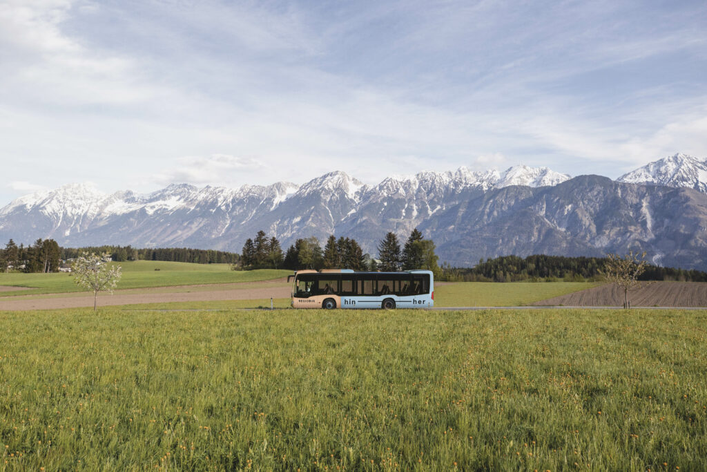
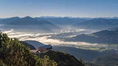
Irrespective of whether a day hike, weekend excursion or multi-day tour: a hiking holiday starts on a more relaxed note when you leave your car at home. Not only is travelling by bus and train to the Tirolean mountains comfortable and congestion-free, it is also environmentally friendly. Thanks to excellent connections to the public transport network, an increasing number of tours can be optimally combined with travelling by public transport.
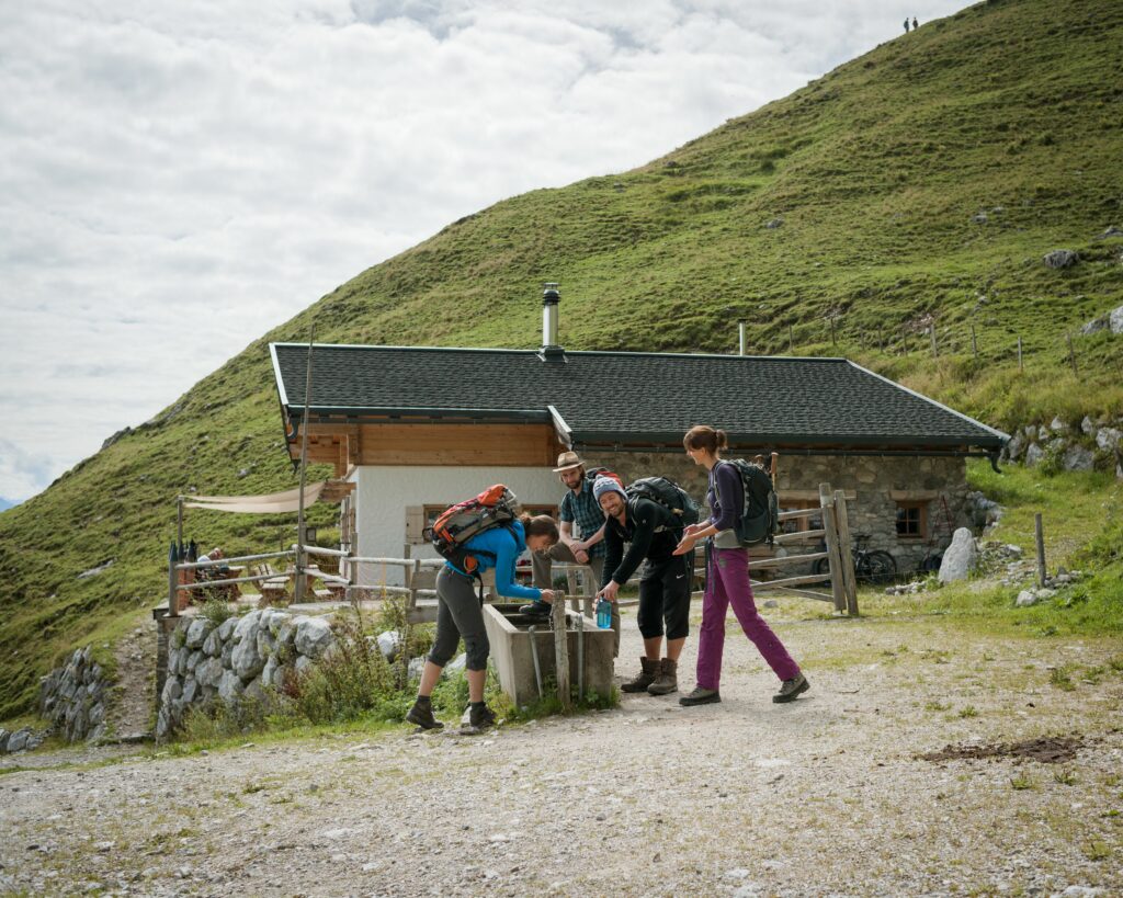
Hop on, hop off and savour the mountain air: there are numerous hikes in Tirol that can be easily and conveniently accessed by train or bus. This not only allows guests to enjoy the Tirolean countryside in an environmentally friendly way, but also to be wonderfully flexible, especially if the starting and finishing points of a hike are not the same. Thanks to excellent connections to the Verkehrsverbund Tirol (VVT) public transport network and Austrian Federal Railways (ÖBB) trains, hikers can disembark close to the starting point of their re-spective tour and hop back on the bus or train once they reach their chosen destination. What lies between is the unforgettable experience of a hike through unique landscapes dominated by the Tirolean mountains, safe in the knowledge that you don’t have to return to the starting point to pick up your car but can simply make the relaxed journey home by public transport.
Guaranteed quality: selected hikes with public transport
Guests who opt to travel by public transport will find selected hiking suggestions in many Tirolean regions that are easily accessible by public transport. These “public transport hikes” fulfil several criteria to ensure the quality and thus overall positive experience of a hike with public transport. Criteria include, for example, a maximum waiting time of 60 minutes at the start and end points, transport connections from morning to evening and a maximum 15 minute walk from the bus stop to the start and end points of the hike. Tour suggestions are directly linked to the timetable and route planner, and tickets can be pur-chased quickly and easily in the online ticket shop.
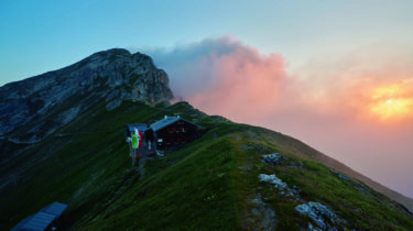
Hiking recommendations with bus and train
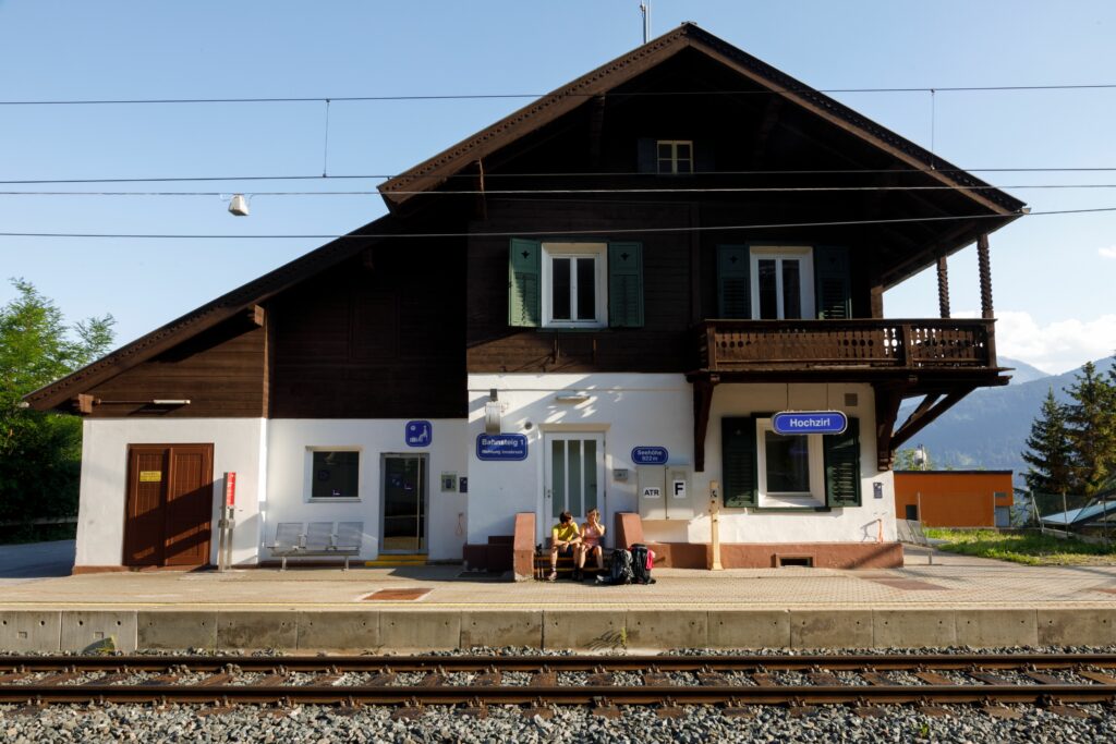
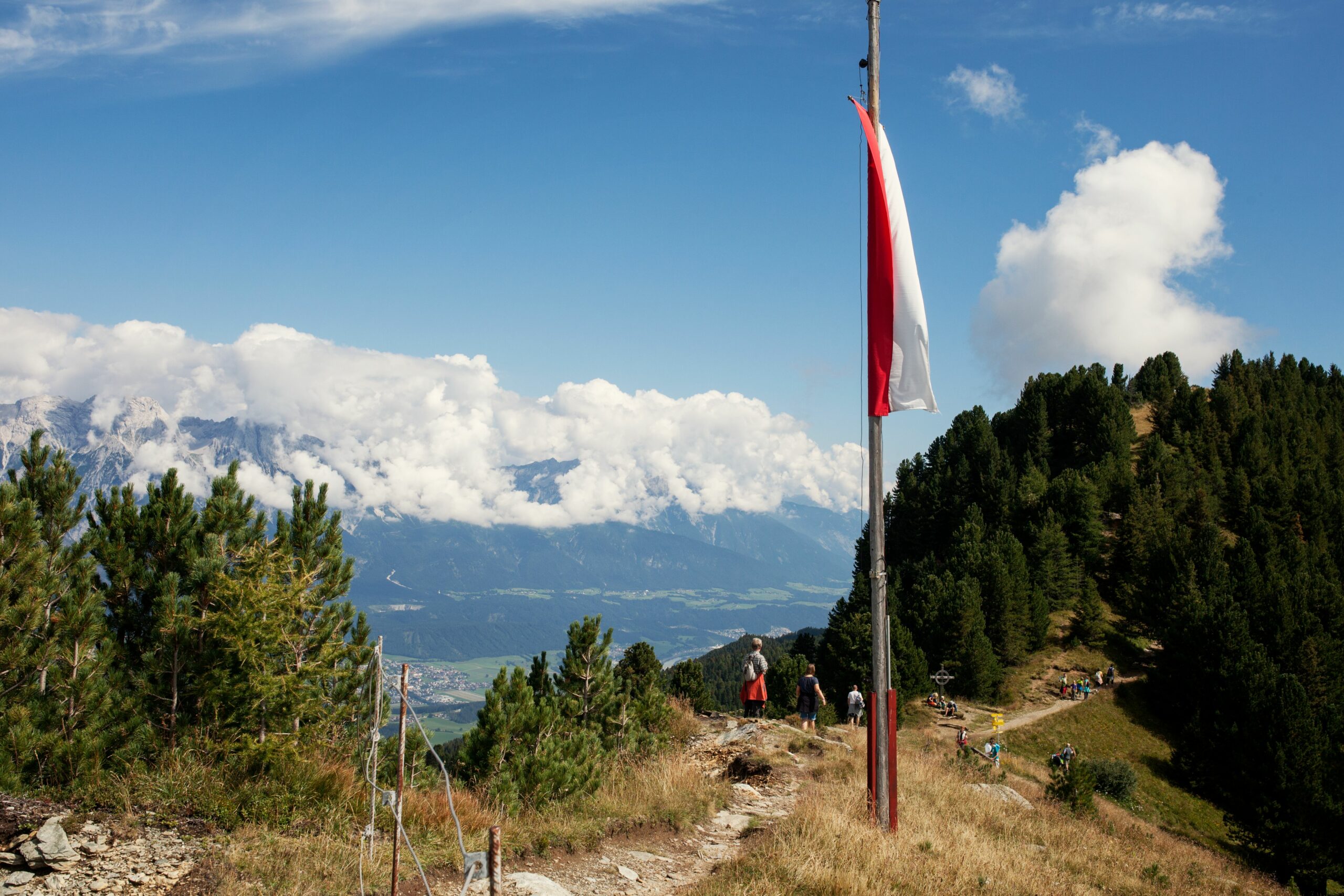
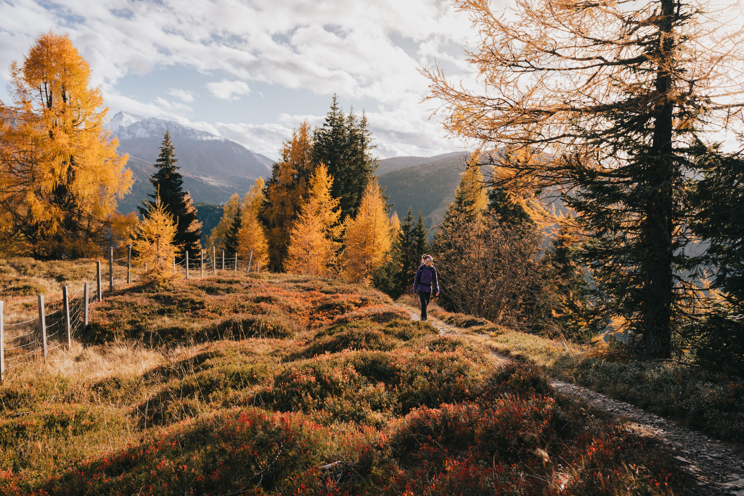
High above Innsbruck on the Zirbenweg Trail · Innsbruck Region
Starting point: Igls Patscherkofel · Finish: Tulfes Glungezerbahn cable car valley station
7 km · 200 m elevation difference ↑ · 100 m ↓ · 2.5 hours
Hike alongside the oldest Swiss stone pine forest in Europe on the Zirbenweg Trail high above Innsbruck – with marvellous vantage points and views of Innsbruck and the Inntal Valley. The starting point can be accessed via Innsbruck main railway station. Sillpark shop-ping mall is just a few minutes’ walk away, where the “J” bus route shuttles to the valley station of Patscherkofel cable car, which takes you comfortably to the starting point of the hike. At the end of the easy two-and-a-half-hour hike, take the Glungezerbahn cable car down to Tulfes, from where the 540 bus route provides comfortable transport back to Innsbruck.
Go to tour: www.tyrol.com/a-one-day-trek-patscherkofel-zirbenweg-tulfes
On-site-mobility: best-connected railway station in Tirol · with numerous buses operating throughout Inns-bruck city and the surrounding villages · free Welcome Card with included use of public transport in the entire tourist association area from the second overnight stay (at selected partner businesses) · fee-based Innsbruck Card with included use of public transport in the extended city area
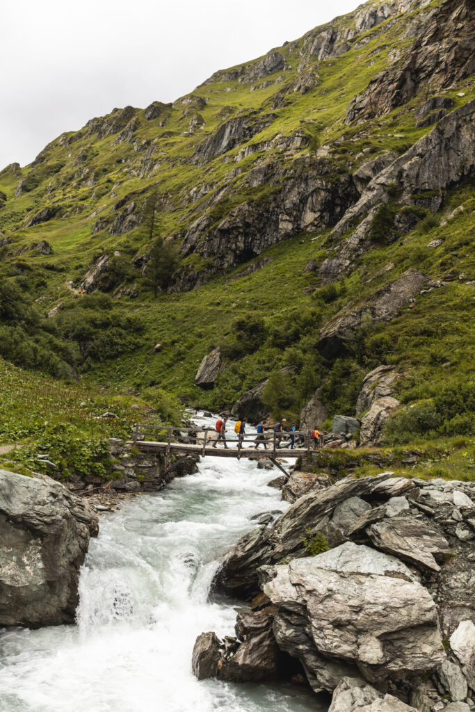
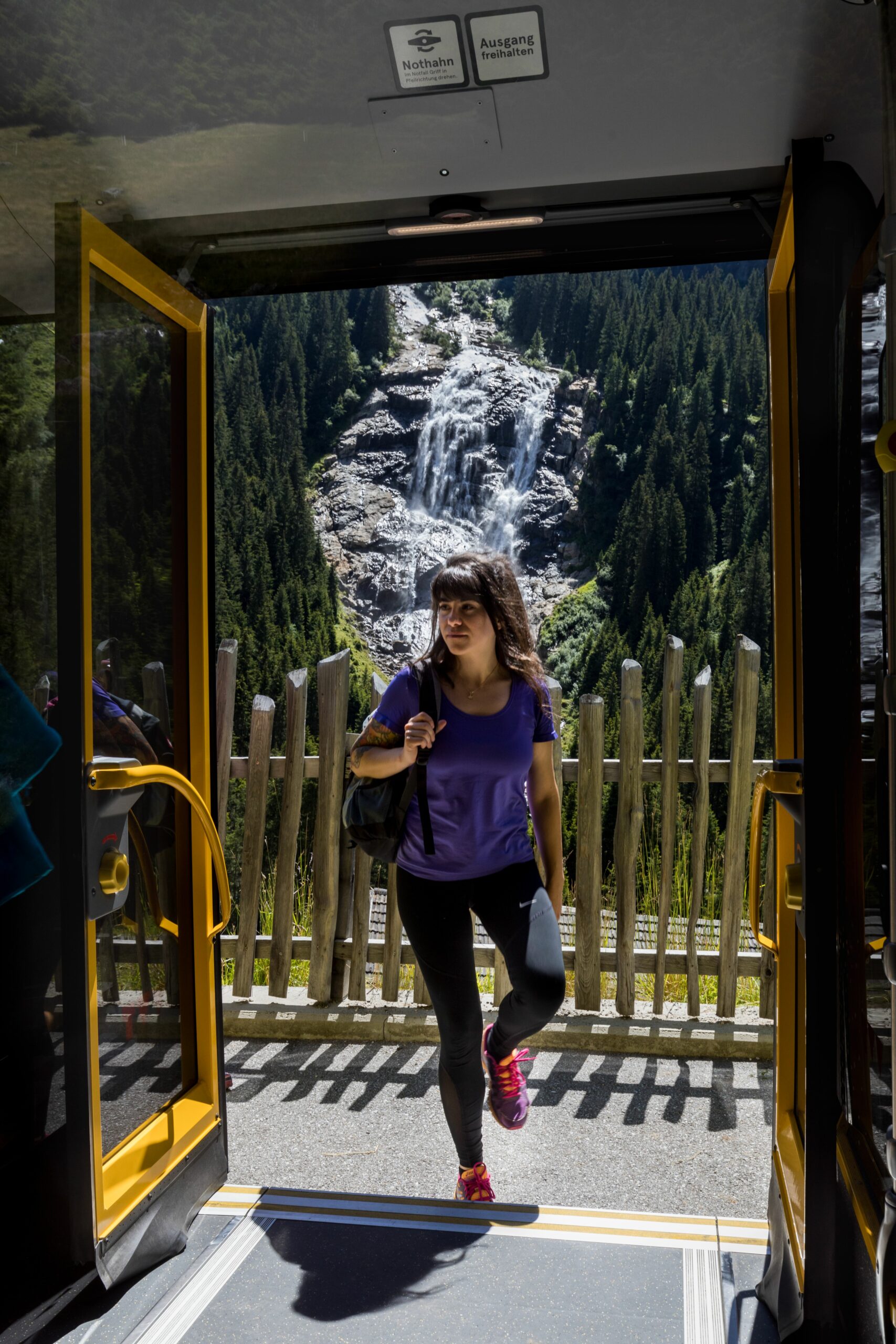
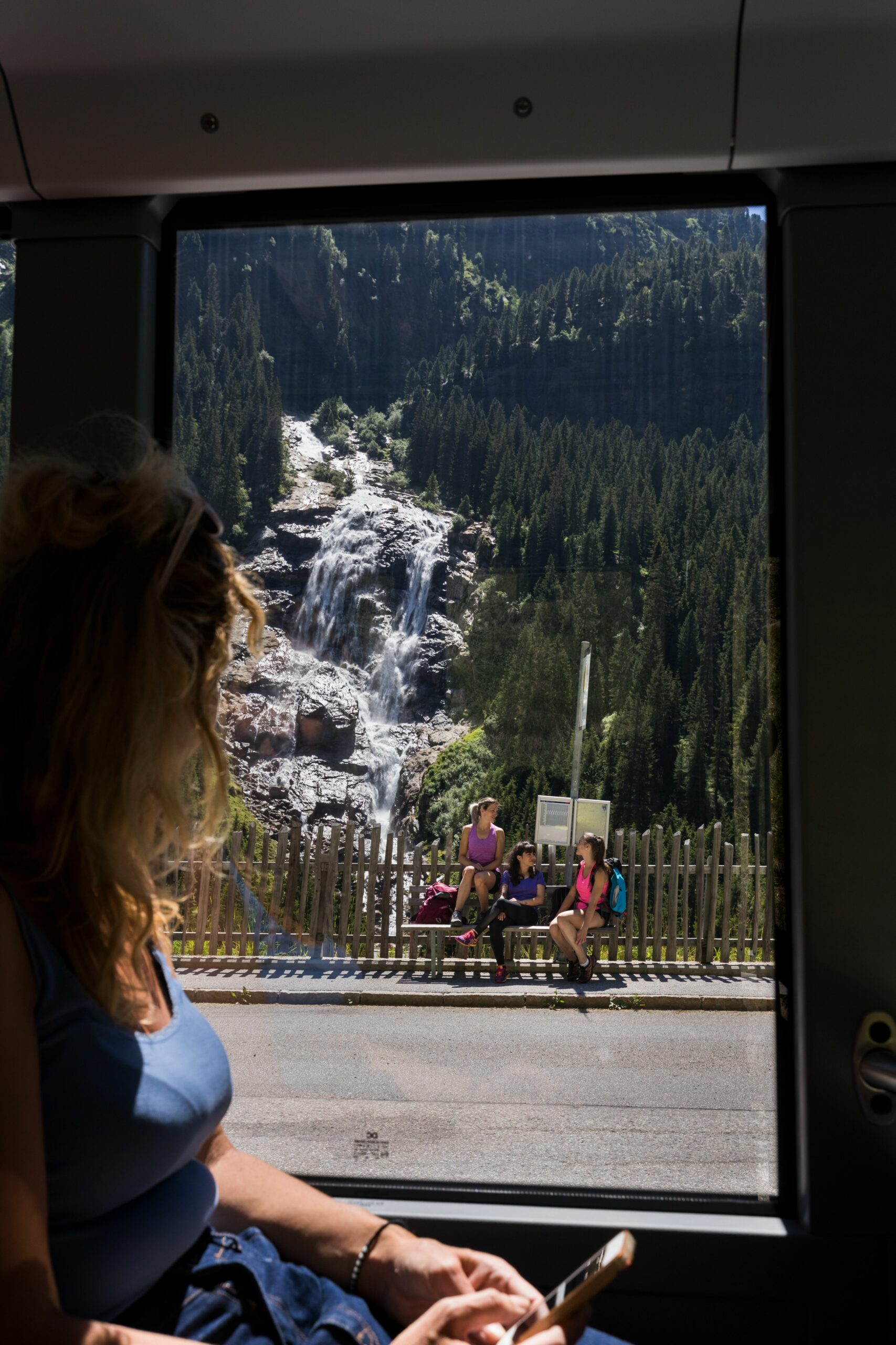
Following the Isel Glacier River · Osttirol
Starting point: Lienz railway station · Finish: Prägraten at Großvenediger Hinterbichl
73.7 km · 2,120 m elevation difference ↑ · 1,380 m ↓ · 23 hours (5 stages)
This moderately difficult tour – the Isel Trail – follows the longest free-flowing glacial river in the Alps. The hike, which is suitable for leisure hikers and families alike, leads into a wondrous world of water with individually selectable stages. Public buses, which can be used free of charge with the Guest Card, shuttle to and from the individual sections to one’s accommodation.
Go to tour: www.tyrol.com/a-der-iseltrail
On-site-mobility: free use of public transport with Guest Card · FLUGS e-car sharing for guests paying the “Tauernwind” tarif · 960x express bus route from Innsbruck – direct connections from Vienna several times a day – special focus on car-free leisure activities
Across the Obergurgl Seenplatte (lake district) to Lake Nedersee · Ötztal
Starting point: Obergurgl centre · Finish: Zwieselstein Sahnestüberl
9.6 km · 740 m elevation difference ↑ · 965 m ↓ · 5 hours
This moderately difficult tour in the heart of the Ötztal Nature Park leads from Obergurgl via the Gurgler Ache River up to Obergurgl lake district and on to the idyllic Lake Nedersee. After a stop for refreshments at the welcoming Lenzenalm, you descend to the Ötztalstraße road, from where a half-hourly bus service takes you back to Obergurgl. Even the journey to the hike offers great views of the Ötztal mountains – because the route from Ötztal train station takes you through the entire valley to the starting point in the centre of Obergurgl.
Go to tour: www.tyrol.com/a-obergurgl-nedersee-lenzenalm
On-site mobility: Inter-city bus stop at Ötztal-Haiming train station · daily hiking buses every half hour · public transport and bike rental included in the (fee-based) Summer Card · 30 % discount on public transport with the free Guest Card · free bike transport with a valid bus ticket · VVT bike store boxes at Ötztal train station and Sölden

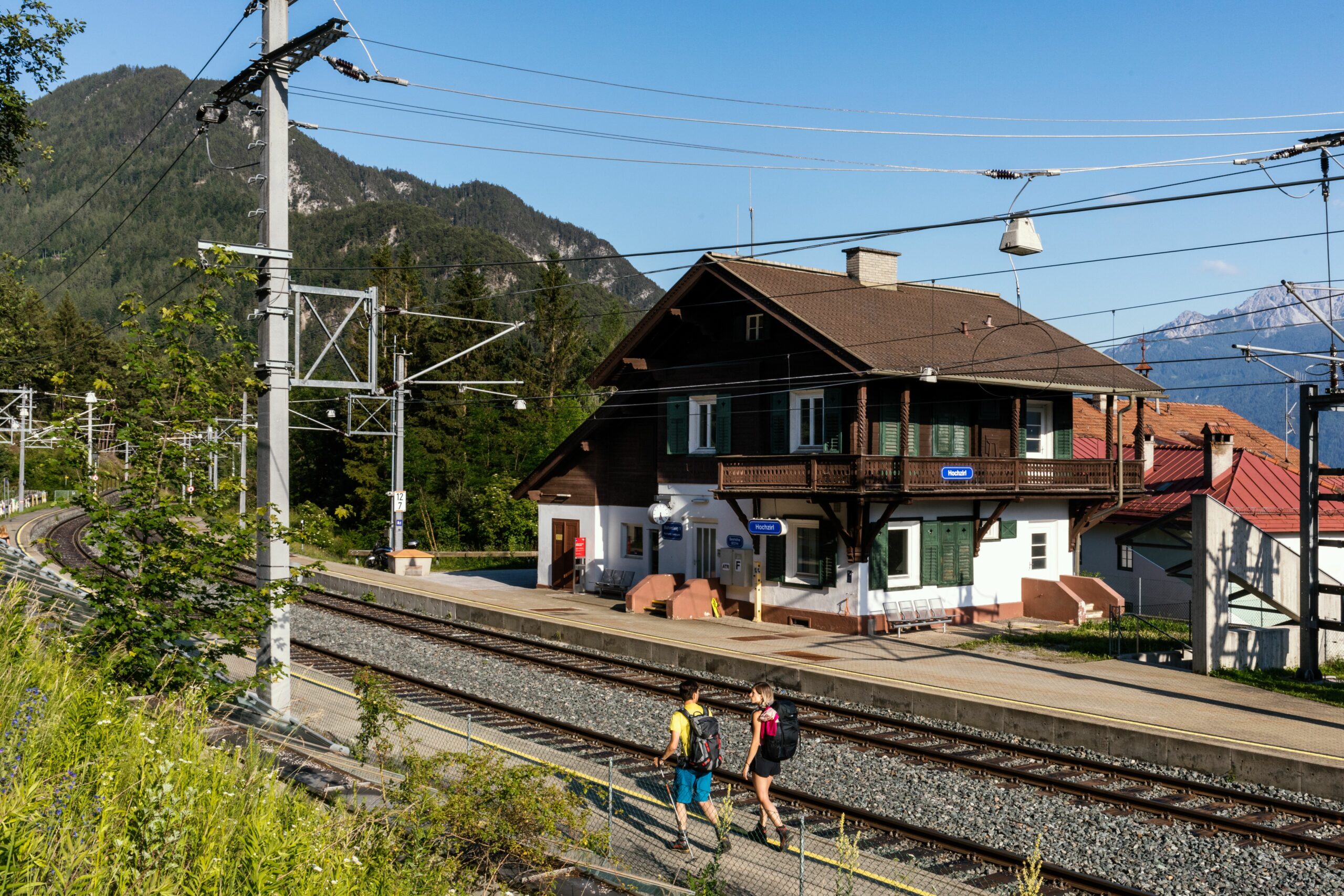
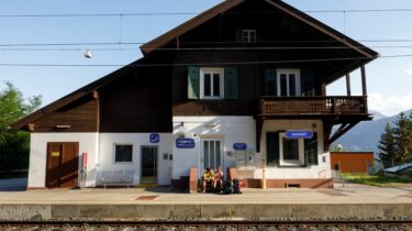
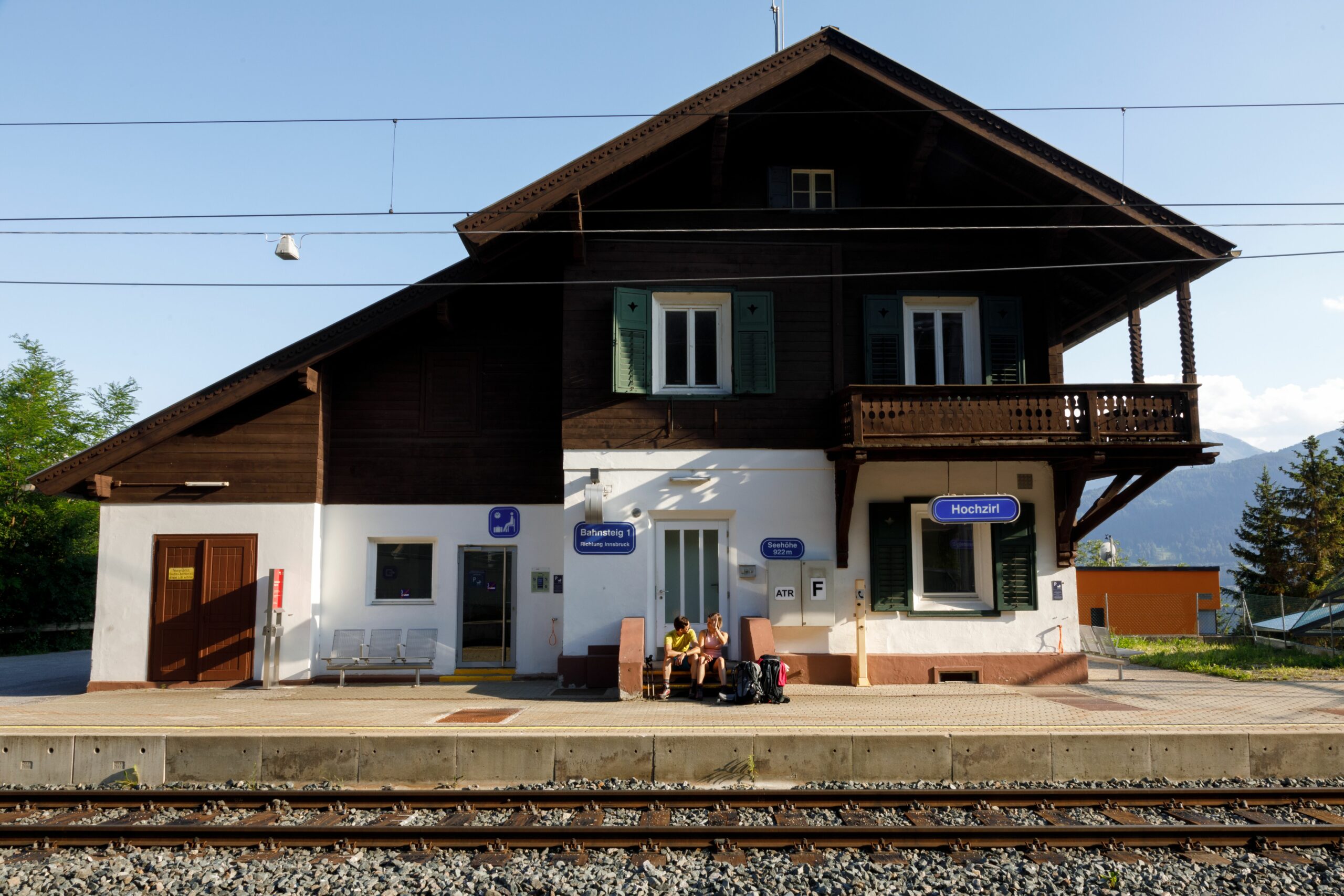
Scenic sun tour to Padauner Kogel · Wipptal Valley
Starting point: St. Jodok railway station · Finish: St. Jodok railway station
5 km · 936 m elevation difference ↑ · 936 m ↓ · 5 hours
Padauner Kogel in Vals in the Wipptal Valley is not only a beautifully scenic mountain; it can also be hiked from spring to late autumn, thanks to its sunny orientation and terrain. The starting point of this moderately difficult tour is right next to St. Jodok railway station and is therefore easy to reach with the S-Bahn line 3 from Innsbruck or Brenner (runs every hour). You can either return along the same route, or via trail no. 82 to Padaun from where, after a stop for refreshments at Steckholzer Guesthouse, you can walk to Vals and then take the bus back to St. Jodok railway station.
Go to tour: www.tyrol.com/a-padaunerkogel
On-site mobility: free use of public transport with the Guest Card · travel voucher for arrival from Innsbruck main station · taxi services and shuttle buses to the valleys · convenient S-Bahn connection from Innsbruck to Brenner through the Wipptal Valley
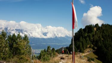
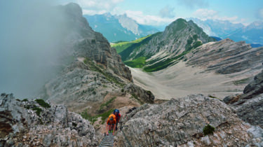
Through the south-western Karwendel to Reither Spitze · Seefeld Region
Starting point: Reith bei Seefeld · Finish: Seefeld train station in Tirol
12 km · 1.304 m elevation difference ↑ · 1.243 m ↓ · 5.5 hours
The tour to Reither Spitze in the Seefeld Region rewards hikers with a view of the various Karwendel ranges, over Sellrain to the glaciers of the Stubai Alps, Hohe Munde and Wetter-stein Ridge with the Zugspitzplatt. The three-hour, moderately difficult ascent to the Nördlinger Hut starts directly at Reith railway station, from where it takes another twenty minutes to reach the Reither Spitze summit. The descent follows via the Seefelder Spitze and Seefelder Joch to the centre of Seefeld, from where you can take the Karwendelbahn cable car along a particularly scenic route back to Innsbruck.
Go to tour: www.tyrol.com/a-reither-spitze
On-site mobility: free use of public transport with the Guest Card · year-round mobility programme including 4 bus routes and 3 train stations · 2 additional hiking bus routes in summer · partner businesses with a 5 % discount on room rates and free luggage service

Multi-day hut-to-hut tour on the Wilder Kaiser · Wilder Kaiser
Starting point: Going, Hüttling · Finish: Scheffau Village
24.6 km · 2,060 m elevation difference ↑ · 2,140 m ↓ · 14 hours (3 stages)
The free KaiserJet hiking bus provides transport to the starting point of this three-day hut tour on the Wilder Kaiser. This challenging tour takes you to the most beautiful places on the southern flanks of the imposing Wilder Kaiser mountains, including unforgettable summit ascents and mountain hut encounters. At the end of the tour, the hiking bus returns to Going, from where hikers can easily and comfortably reach the railway stations of Kufstein, Wörgl, St. Johann or Kitzbühel.
Go to tour: www.tyrol.com/a-dreitaegige-huettenwanderung-im-wilden-kaiser
On-site mobility: free use of public transport with the Guest Card · hiking bus and Kaiser-Jet service every 15 minutes in high season · village evening bus until 10:30 pm · “Green Arrival”: free mobility advice, free train station shuttle and 10 % discount on bike hire when booking at a partner business · 30 minutes free use of a Regio bike
On-site mobility & excursion tips by bus and train
In their quest to continuously improve mobility for locals and guests, Tirolean tourism as-sociations and their mobility partners are constantly investing in the expansion of their services. The focus is not only on travelling to and from one’s holiday destination, but also on local mobility. For example, holidaymakers can usually use public transport free of charge on presentation of their Guest Card. Furthermore, room rate discounts, free luggage transfer, a shuttle to the door of one’s accommodation and other incentives are intended to encourage people to travel by public transport.
Rail travellers can also use the Four Seasons Travel station shuttle service for a comfortable onward journey from their arrival station to the respective holiday destination.
The new Naturtrip excursion planner, which is available as a smartphone app and includes information on outward and return journeys by bus and train, also offers further excursion destinations that can be easily and conveniently explored by public transport.
For more information about hiking with public transport, please visit www.tyrol.com/walks-and-hikes-accessible-using-public-transport.